Classic cars have plenty of charm, but they tend to be a bit light on technology. Luckily, gadgets which would have seemed like science fiction when your car was conceived are now built into your smartphone. Even a brand-new car’s navigation device can’t compete with the instantly-updated electronic maps you keep in your pocket.
Using the navigation built into your phone is the obvious choice for classic drivers, helping us find meetings and shows, locating businesses or just plotting a nice drive out. They are easily removed for security and don’t upset the original look of the car either.

But which app should you use to get you to your destination? Most of us will just click on the default apps from Google and Apple, but there are plenty of other choices too.
To find out which is best, we downloaded eight of the most popular apps to an iPhone 12 and set out on the road. We asked for directions to a classic car business premises and then a residential address. To confuse the programs, we asked the app’s search function to help us find destinations using names rather than postcodes.
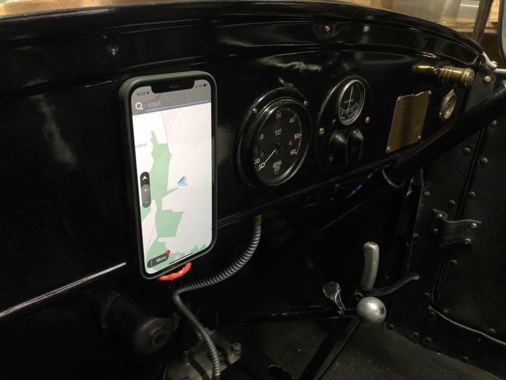
Once we were out on the road, we tried to confuse the apps further by making wrong turns. We also asked for a diversion to the nearest petrol station.
Each of the apps was scored on how easily it found our destinations, how efficiently it responded to wrong turns, the clarity of the maps, and useful extras such as speed camera locators, head-up-displays and fuel price databases.
We also judged how the apps ate up battery life. As many older cars won’t have a handy 12v outlet, a power-hungry program could mean you arrive with a dead phone.
Google Maps – Winner
Price: Free
Score: 10
Contact: www.google.co.uk/maps
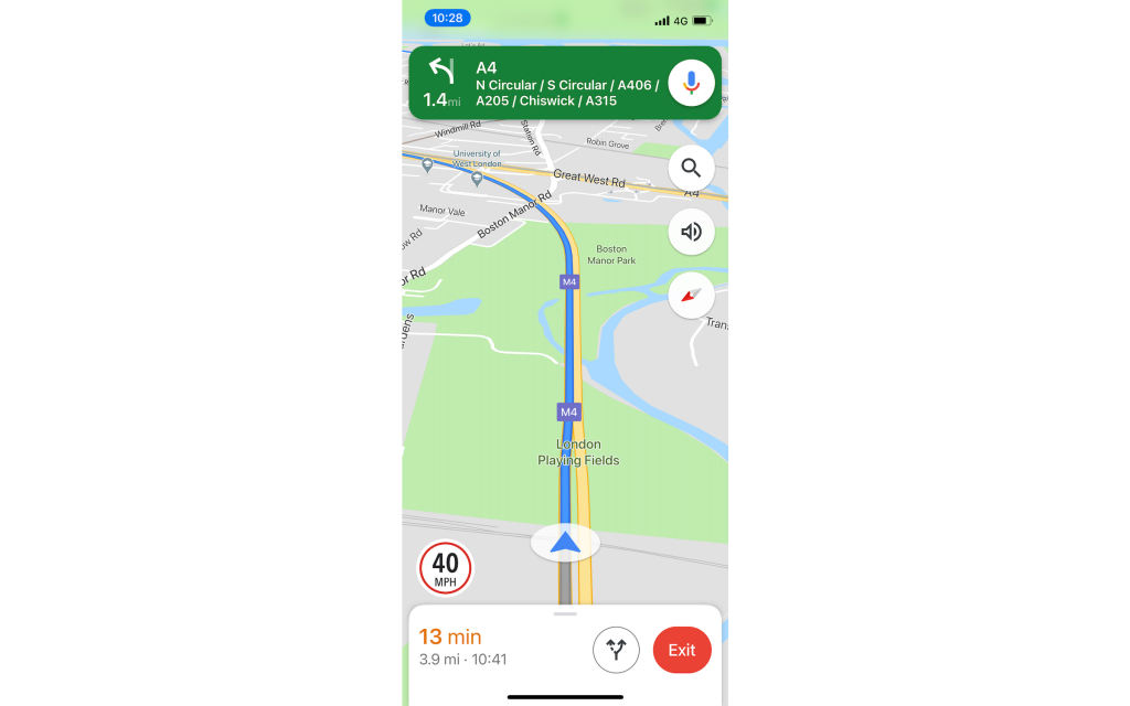
Google is the default navigation choice for most smartphone users, even those using iPhones which come preloaded with Apple’s own mapping software. It’s easy to see why, as it tries to make life as simple as possible.
It uses the might of Google’s search engine to find addresses, coping well when we purposely entered incorrect and poorly spelled names. For businesses, it adds information such as opening times, customer reviews and even an indication of how expensive they are. If you need to make an adjustment while driving, tap the microphone button and it will listen to your voice inputs with decent accuracy.
Google also crowd-sources data from other smartphone users to assess traffic conditions. If a lot of phones are moving slowly, it knows the traffic is heavy and indicates the delay on the screen, even suggesting how long you are going to be stuck. As Google is used by so many people, it is unerringly accurate.
It’s not a perfect app though. Others have better looking map screens and Google’s fuel stations are listed by linear distance rather than journey time. We were also surprised when it tried to navigate us through a road which had been closed by roadworks for several weeks. But it is getting better all the time and is still the easiest and most accurate app to use.
TomTom GO – Runner up
Price: £1.99/month, £12.99/year
Score: 9
Contact: www.tomtom.com
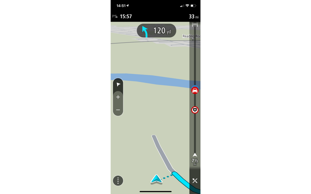
In a world where we are used to getting some of the most sophisticated software in the world for free, it might seem strange to actually pay for an app that appears to do much the same thing. TomTom claims it has to charge as it doesn’t make money from selling your data to advertisers, which may be important to you in itself.
It means the GO app costs £13 per year, which is not going to break the bank but is far from insignificant. What you get in exchange is a great navigation experience.
Once the app is installed you’ll need to spend some time downloading the maps – that’s worth remembering if you are driving outside of your normal area and don’t want to hammer your mobile data plan.
Once this is done, the navigation is lightning fast however and it was much quicker to react in areas with low phone signal. The maps and directions are the clearest too, and the TomTom has a useful speed camera locator gizmo which will even tell you if you are straying above the limit between average speed detectors.
The downside is an unsophisticated search function, which will need more detail to find a location and gives you little info about your destination.
Waze
Price: Free
Score: 8
Contact: www.waze.com
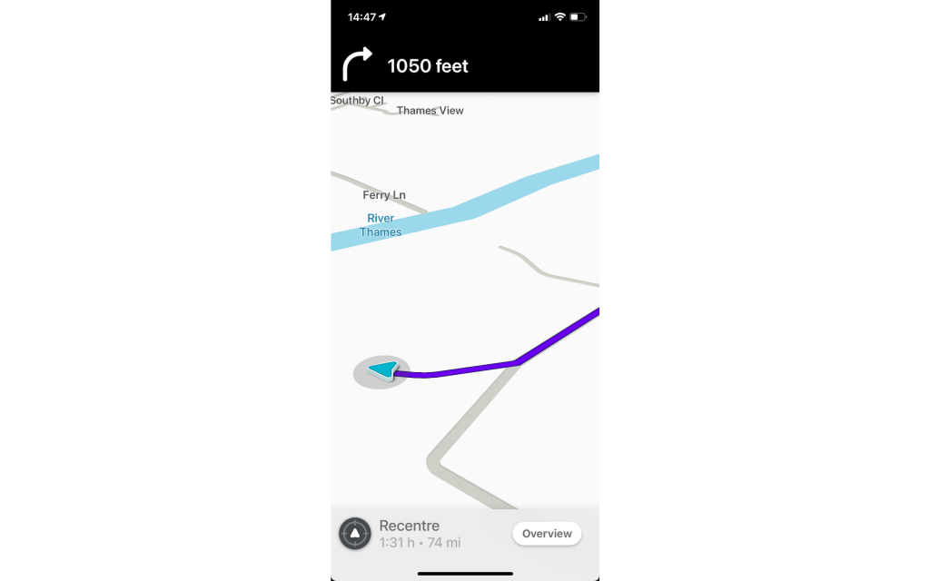
Get into a taxi or other professional drivers’ car and you’re likely to see a smartphone running Waze stuck the windscreen. Like the Google app, Waze relies on the passive feedback from users to measure traffic flow spot snarl ups. But it also encourages ‘Wazers’ to report issues to help warn others about problems ranging from speed traps to potholes.
The mapping doesn’t look as sophisticated as the other apps, but it is clear enough and the routing was slick. But Waze seemed inclined to send us off down small, minor roads rather than encounter even a brief traffic queue. It also seems to be a victim of its own success, as there were processions of Toyota Prius and Skoda Octavias on the same roads as us, clearly avoiding the same queues but then causing their own.
However, away from the city streets it does offer a useful security blanket of alerts, and displays fuel prices at the nearest petrol stations.
Apple Maps
Price: Free (Apple devices only)
Score: 7
Contact: www.apple.com
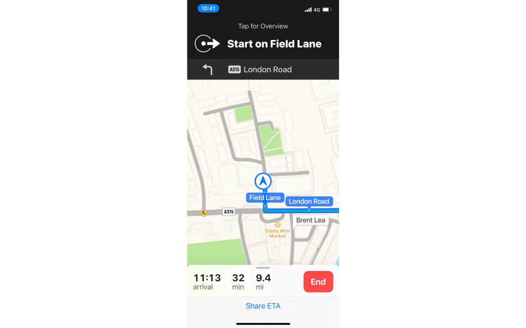
Apple Maps is the default navigation app in all iPhones and iPads, which means it pops up whenever you click on an address in an email or calendar invite. If you choose to follow it rather than switch to another app, the maps are easy to understand and the navigation is frill-free and efficient.
The UK-based search function has improved massively in the past few months too. It found our addresses easily, and no longer seemed to be designed with California rather than Coventry in mind.
Another useful feature is the option to easily ‘drop a pin’ to mark an exact spot on a map, such as a parking or camping spot. Although a similar feature is offered with Google too, Apple’s version is far more intuitive to use and share.
But Apple Maps is otherwise so basic that it can’t keep up with the other apps we tested in terms of sophistication. If you just need clear directions on a plain background it does the job. But it’s not going to be our default choice yet.
Sygic Car Navigation
Price: £26.50 (one off payment)
Score: 7
Contact: www.sygic.com
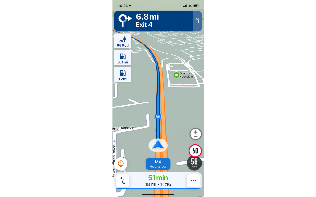
The Sygic app has some features which would make a Tesla look old fashioned. It will allow you to use your phone as a dash cam (if it is mounted with a view out of the window, obviously) and will even use the camera to give ‘live’ navigation instructions, overlaying directional arrows over camera view. You can even mount the phone with the screen facing upwards and projecting onto the windscreen to give a head-up display.
All this works well too, although all of the options chew through the battery quickly and made our phone too hot to hold after a sustained drive.
The navigation won’t work without downloading the maps for the areas you’re travelling to first – worth bearing in mind if you are doing a long road trip. The search isn’t as slick as the other apps here either, but the directions are clear, and the screen displays useful info such as your current speed next to the posted limit and fuel stations along your route.
This is all useful, but unless you really want the extra features we can’t say it’s worth the cost when others are free.
Karta GPS
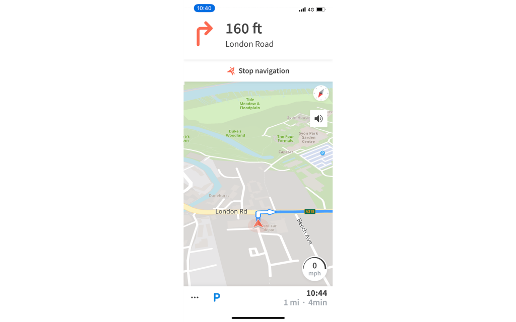
Price: Free (£1.99 ad free)
Score: 6
Contact: www.kartagps.com
Karta funds itself in a different way to the other apps here, in that it is free – as long as you are willing to put up with irritating ads popping up at the bottom of your screen. If you want to get rid of them – and you will – then paying a one-off fee of £1.99 will banish them forever.
Like the TomTom, you download the map data to avoid data transmission problems and it did a decent job of navigating to our destinations, even when faced with our wrong turns. However the search functions are way behind the pace compared to the alternatives tested here as it only allowed exact postcodes and addresses. Petrol stations are searchable, but are hidden in a sub menu.
There’s nothing fundamentally wrong with Karta, but when better alternatives are free, we can’t see any reason why you’d choose to use it.
MyRoute
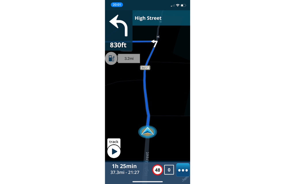
Price: £2.99/month
Score: 5
Contact: www.myrouteapp.com
When the greatest minds in software are prepared to offer you their apps for free in exchange for some data, MyRoute will need to be pretty special to justify the £2.99/month fee which kicks in after the initial two-week free trial. But it doesn’t do anything brilliantly and actually has a few irritating flaws.
For example, its suggestions for ‘gas stations’ or restaurants were seemingly random and the route failed to spot a closed road. On the plus side, it features a journey tracking feature which may be useful if you want to measure the exact distance you’ve travelled for a reliability rally, check fuel economy or claim mileage expenses. But that’s not enough for us to think it’s worth the money.
Verdict
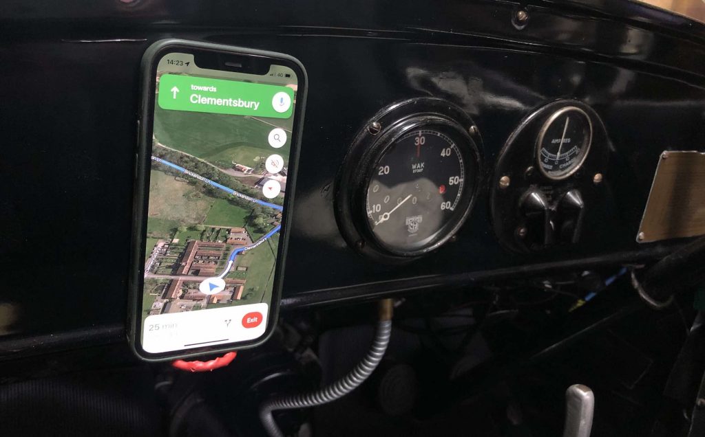
1 Google Maps
2 TomTom GO
The popularity of Google’s app is justified, and the number of users make it more useful and accurate. It is simple to use, can intelligently search for destinations with uncanny accuracy and doesn’t cost you anything but a little privacy.
It’s not perfect, and like Waze it can be a little too keen to send you down a small road rather than endure a slight snarl-up. If you are in an area with poor mobile coverage (or have a car with a heated windscreen which blocks the signal) you’ll want to download the maps first.
Our runner up is TomTom’s Go. The expense isn’t too huge and it’s the only app we’d pay to use. Besides the clear and accurate mapping, the very useful average speed camera tool could save you a ticket.
Read more
Reviewed & Rated: Car data checks put to the test
Socket Set: Choosing spanners for DIY
Filled your car with the wrong fuel? Here’s what to do


